Severe Weather Alert: Thunderstorms, Flooding, and Damaging Winds Set to Lash South Africa
Large parts of South Africa are bracing for a day of severe weather this Friday. Authorities warn of potential flooding, intense thunderstorms, and damaging winds across multiple regions.
South Africans are urged to prepare for a day of severe weather, as reports indicate that severe thunderstorms, flooding, and damaging winds are set to lash large parts of the country this Friday, 4 September 2026. The widespread nature of the warnings highlights a significant weather event affecting multiple regions.
According to initial reports published by Independent Online (IOL), the adverse weather conditions are expected to impact a vast portion of South Africa. While the specific regions, provinces, and municipalities most at risk have not been individually detailed in the preliminary alerts, the warning covers a broad geographical area, signaling that residents across the country should remain highly vigilant throughout the day.
Severe thunderstorms present a multi-hazard threat to both lives and infrastructure. In the South African context, such storms often bring intense lightning, which poses a severe risk to individuals in open areas, as well as localized power disruptions. The sudden onset of these storms can catch commuters and residents off guard, making early awareness crucial.
Flooding is another major component of the weather warning. When severe thunderstorms deposit large volumes of water over a short period, drainage systems can quickly become overwhelmed. This leads to flash flooding on roads, particularly in low-lying areas, informal settlements, and structural underpasses. Motorists are advised to exercise extreme caution, as driving through flooded roads can be extremely hazardous.
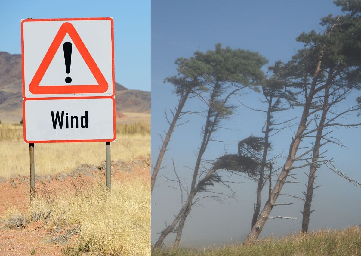
Accompanying the storms are predictions of damaging winds. Strong, gusty winds can cause significant structural damage, including tearing roofs off homes, damaging informal dwellings, and knocking down trees or power lines. In South Africa's coastal and inland regions alike, such winds can disrupt transport networks, delay flights, and create dangerous conditions for high-sided vehicles on major national routes.
At this stage, specific meteorological statistics—such as expected millimetres of rainfall, exact wind speeds in kilometres per hour, or the precise timing of the storm fronts—remain unconfirmed in the initial reports. It is also unclear which specific disaster management teams have been activated, though local authorities typically monitor such situations closely. Residents are advised to keep a close eye on updates from official weather channels for localized warnings.
In light of these warnings, South Africans are encouraged to take proactive safety measures. This includes securing loose outdoor objects that could be carried away by strong winds, clearing gutters to prevent localized flooding around homes, and avoiding travel during the peak of the storms if possible. Staying indoors and away from windows during active lightning is also highly recommended.
As the Friday weather system moves across the country, the situation will continue to develop. Members of the public are urged to stay informed through reputable news sources and official weather channels. With large parts of South Africa set to experience these severe conditions, community cooperation and adherence to safety protocols will be vital in minimizing damage and ensuring public safety.
Reporting record
How this story was produced
This article was AI-generated from the frozen trend evidence and passed deterministic quality and safety gates. No cross-provider evidence review or independent human verification is claimed for this record.
- Byline
- Newstrends AI Newsroom
- First published
- Last material update
- No later material update recorded
- Distinct source identifiers
- 1 retained source identifier
Frozen source links for this publication
Chronology
Story timeline
A generated chronology for orientation; dates and details may require source verification.
Update
Severe weather warnings are issued for large parts of South Africa, predicting thunderstorms, flooding, and damaging winds.
Reader file
Frequently asked questions
01Which parts of South Africa will be affected by the severe weather?
According to the initial reports, the warning covers 'large parts' of South Africa. Specific provinces and localized areas have not been detailed in the initial reports, so residents nationwide are advised to remain vigilant.
02What are the main hazards expected during this weather event?
The primary hazards identified are severe thunderstorms, localized flooding, and damaging winds.
Keep reading
Related coverage
More published reporting connected to this story.
Cut-off low pressure system to bring heavy rain, damaging winds and storms to parts of South Africa
A developing cut-off low pressure system is set to bring severe weather, including heavy rain and damaging winds, to parts of South Africa. While specific regional details remain unconfirmed, residents are urged to prepare for potential disruptions.
South Africa Weather: Cloudy Skies and Rain Forecast as KZN Braces for Severe Weather
Parts of South Africa are preparing for wet weather and cloudy skies, with KwaZulu-Natal on high alert for severe conditions. Residents are urged to monitor updates as the weather system develops across the country.

WEATHER: South African Provinces Brace for Incoming Light Snow, Rain and Gale-Force Winds
South Africans are urged to prepare for a sudden shift in weather as reports warn of light snow, rain, and gale-force winds. While specific provinces have not yet been detailed, residents across vulnerable regions should remain alert.
Weather Alert: Strong winds and rain expected to hit parts of South Africa
South Africans are advised to prepare for incoming strong winds and wet weather following initial alerts on 1 August 2026. While specific regions remain unconfirmed, the transition into August typically brings volatile weather across the country.
Western Cape Braces for Rough Seas and Gusty Winds as Rain Spreads East
The Western Cape is facing a day of turbulent weather with rough seas and gusty winds as a rain system moves eastward across the province. Residents and motorists are urged to exercise caution amid challenging coastal and road conditions.