Residents and visitors across the Western Cape are bracing for a day of disruptive weather as a significant system brings rough seas, gusty winds, and spreading rainfall to the province. According to reports on Monday, 27 July 2026, the adverse weather conditions are expected to move progressively eastward, impacting coastal and inland areas that lie in the path of the advancing system.
The primary immediate concern for coastal communities is the combination of rough seas and high winds. The Western Cape coastline, known for its vulnerable marine infrastructure and popular beaches, faces heightened risks of strong swells and turbulent waters. Maritime operators, local fishers, and recreational beachgoers are urged to exercise extreme caution, as rough sea conditions can quickly become hazardous for small vessels and shoreline activities.
In addition to the maritime threat, gusty winds are expected to sweep across the region. These strong winds can pose significant challenges on the roads, particularly for high-sided vehicles, caravans, and motorcyclists travelling along exposed routes such as the N1, N2, and coastal mountain passes. Residents are also advised to secure loose outdoor items around their properties to prevent damage or injury caused by wind-borne debris.
As the weather system progresses, rainfall is projected to spread eastward across the province. This eastward movement means that while western parts of the Cape, including the Cape Town metropolitan area, may experience the initial onset of wet weather, areas further east, such as the Overberg and the Garden Route, should prepare for rain later in the day. The spread of rain is a characteristic feature of winter weather fronts moving across the southern tip of the continent.
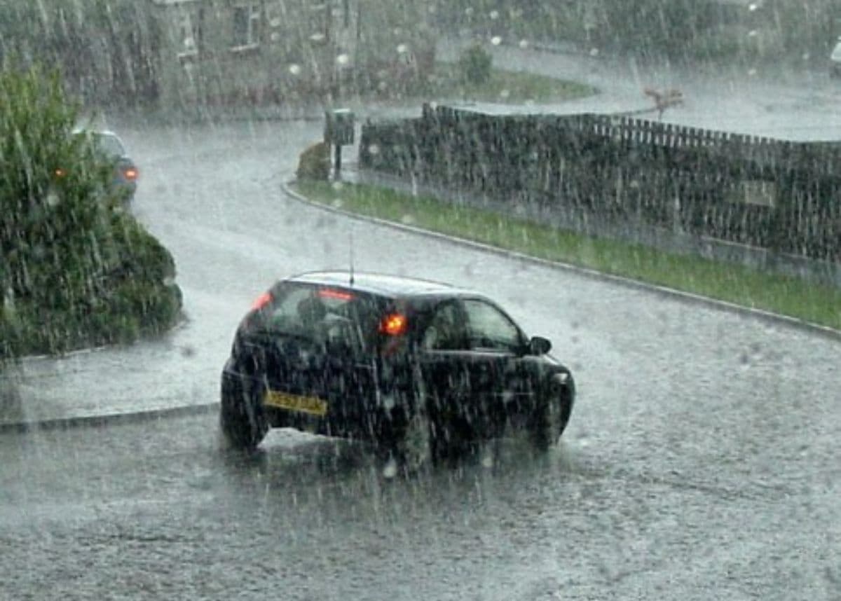
The combination of rain and wind inevitably impacts daily commutes and urban infrastructure. Wet road surfaces, reduced visibility, and localized pooling of water are common hazards during such weather events. South African motorists are reminded to adjust their driving habits by reducing speed, increasing following distances, and turning on headlights to ensure safety under overcast and rainy conditions. Pedestrians should also remain highly vigilant near busy roadways.
July represents the heart of the winter rainfall season for the Western Cape, a region characterized by its Mediterranean climate. Cold fronts accompanied by strong winds, heavy showers, and rough seas are typical for this time of the year. While these systems are vital for replenishing regional reservoirs and dams, they require constant readiness from emergency services and municipal disaster management teams to mitigate potential localized flooding or wind damage.
As the day unfolds, the progression of the rain toward the eastern borders of the Western Cape and into neighboring regions will be closely monitored. Members of the public are advised to stay informed by checking regular updates from reputable local news sources and official meteorological channels. Remaining prepared and responding proactively to changing weather conditions remains the best defense against winter storm disruptions.