Cut-off low pressure system to bring heavy rain, damaging winds and storms to parts of South Africa
A developing cut-off low pressure system is set to bring severe weather, including heavy rain and damaging winds, to parts of South Africa. While specific regional details remain unconfirmed, residents are urged to prepare for potential disruptions.
South Africans are being urged to prepare for a significant shift in weather patterns as a cut-off low pressure system threatens to bring severe weather conditions to several parts of the country. According to initial reports published on 31 August 2026, this developing meteorological system is expected to unleash a combination of heavy rain, damaging winds, and intense storms. The warning highlights the potential for widespread disruption, prompting concerns for safety and infrastructure across the affected regions.
In the South African context, cut-off low pressure systems are historically associated with some of the country's most severe and unpredictable weather events. These systems occur when a low-pressure pool of cold air becomes completely detached from the main westerly wind flow. Once isolated, the system can linger over the landmass for several days, drawing in warm, moist air from the surrounding oceans. This instability frequently results in prolonged rainfall, sudden downpours, and violent wind conditions that can catch communities off guard.
While the initial alert clearly identifies the primary threats—specifically heavy rain, damaging winds, and storms—the precise geographical trajectory of the system remains a critical point of observation. The preliminary report, sourced from South African media on late Monday afternoon, did not immediately specify which provinces or districts are expected to experience the worst of the impact. Typically, such systems heavily affect coastal provinces like the Western Cape, Eastern Cape, and KwaZulu-Natal, but they can also sweep inland to impact the southern highveld and central provinces.
Because the exact localized impact zones have not yet been fully detailed, disaster management authorities and weather analysts are expected to release more granular forecasts in the coming hours. For residents, this lack of immediate spatial specificity means that vigilance is required across all regions prone to spring storms. Until the South African Weather Service (SAWS) issues regional level-based warnings, communities must rely on general preparedness measures to mitigate potential damage from both wind and water.
The implications of "damaging winds" and "heavy rain" in South Africa are substantial, particularly for informal settlements, low-lying coastal areas, and municipal infrastructure. Strong winds pose a direct threat to informal dwellings, power lines, and trees, which can lead to localized power outages and blocked roadways. Meanwhile, heavy rainfall carries the risk of flash flooding, particularly in urban areas where drainage systems may become overwhelmed, or along rural riverbanks where low-water bridges quickly become impassable.
The timing of this cut-off low is also notable, arriving at the very end of August. This period marks a volatile transitional phase in South Africa's climate, where the remnants of winter cold fronts collide with rising spring temperatures. These transitional systems are often highly energetic, explaining the prediction of storms alongside the rain and wind. The combination of these factors makes the developing situation particularly complex for emergency services, who must prepare for multiple scenarios ranging from wind damage to water rescues.
As the country awaits further details on the progression of this weather system, emergency services and safety experts advise the public to take proactive, common-sense precautions. Homeowners are encouraged to clear gutters, secure loose outdoor items that could become dangerous projectiles in high winds, and ensure that backup power sources are ready in the event of grid disruptions. Motorists are urged to exercise extreme caution, reduce traveling speeds, and strictly avoid attempting to cross flooded roads or bridges.
What to watch next will be the official, localized warning levels issued by the South African Weather Service. These updates will provide critical clarity on the expected millimetres of rainfall, wind speeds, and the exact timing of the storm's peak activity. Local municipal disaster management centers are also expected to activate emergency protocols and designate safe zones or response units. Keeping a close eye on real-time weather apps and local news broadcasts will be essential for navigating the days ahead safely.
Reporting record
How this story was produced
This article was AI-generated from the frozen trend evidence and passed deterministic quality and safety gates. No cross-provider evidence review or independent human verification is claimed for this record.
- Byline
- Newstrends AI Newsroom
- First published
- Last material update
- No later material update recorded
- Distinct source identifiers
- 1 retained source identifier
Frozen source links for this publication
Chronology
Story timeline
A generated chronology for orientation; dates and details may require source verification.
Update
Initial alerts warn of a developing cut-off low system set to bring severe weather, including heavy rain and damaging winds, to parts of South Africa.
Reader file
Frequently asked questions
01What is a cut-off low pressure system?
A cut-off low is a severe weather system that occurs when a pool of cold air becomes detached from the main westerly wind flow, often bringing prolonged rain, strong winds, and storms.
02Which parts of South Africa will be affected by the storm?
The initial alerts indicate that parts of South Africa will experience heavy rain and damaging winds, though specific provinces and localized impact zones have yet to be fully detailed by weather authorities.
03How should residents prepare for the damaging winds and heavy rain?
Residents should secure loose outdoor objects, clear gutters to prevent flooding, avoid traveling on flooded roads, and closely monitor local weather alerts for regional updates.
Keep reading
Related coverage
More published reporting connected to this story.
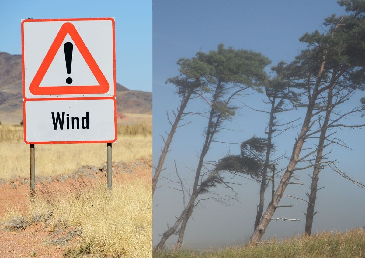
Weather Alert: Strong winds and rain expected to hit parts of South Africa
South Africans are advised to prepare for incoming strong winds and wet weather following initial alerts on 1 August 2026. While specific regions remain unconfirmed, the transition into August typically brings volatile weather across the country.
South Africa Braces for Severe Weather Alert Warning of Damaging Winds, Waves, and Extreme Fire Danger
A national weather alert has been issued for South Africa on 5 August 2026, warning of damaging winds, high waves, and extreme fire danger. While specific regional impacts remain unconfirmed, residents are urged to prepare for potential disruptions.
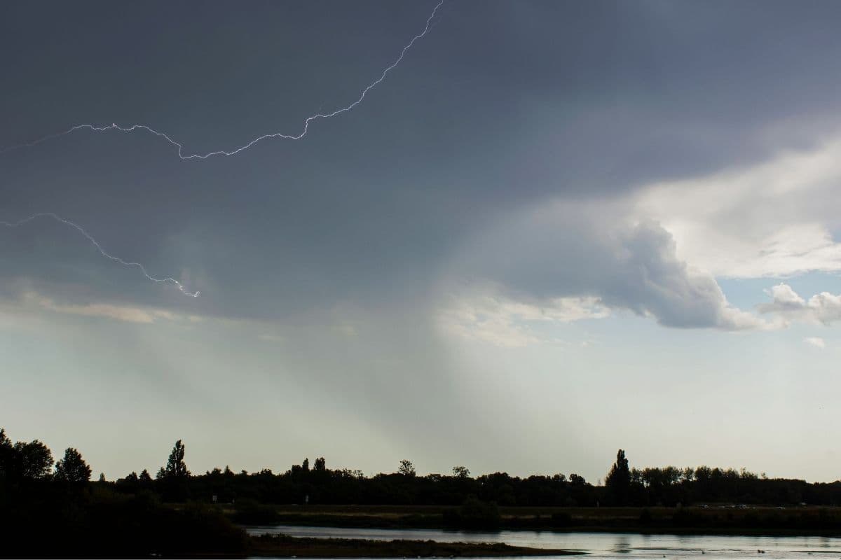
Weather Alert: South Africans Urged to Brace for Showers and Thundershowers
An early weather advisory has warned South Africans to prepare for incoming showers and thundershowers. While the specific province affected remains unconfirmed in initial reports, residents are urged to stay vigilant during this seasonal transition.

WEATHER ALERT: Cold and Wet Weather Predicted for Three South African Provinces
A sudden late-August weather system is set to bring cold temperatures and rain to three South African provinces. Residents are advised to prepare for winter-like conditions as the country transitions into spring.
No Severe Weather Warnings as South Africa Prepares for a Mild Monday
South Africans can look forward to a calm and stable start to the week, with no severe weather warnings in place for Monday. While specific regional temperatures remain unconfirmed, the overall outlook points to a mild day across the country.