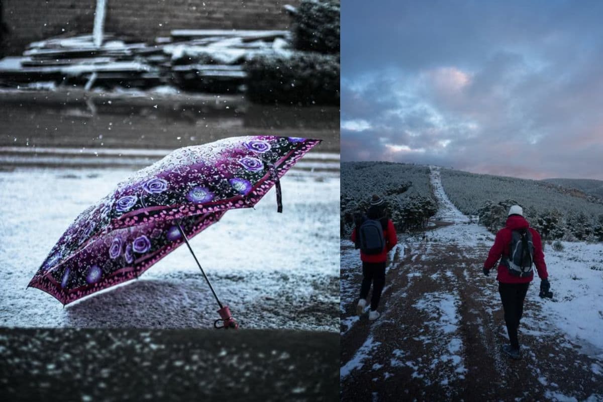
South Africans are bracing for a weekend of severe weather as reports emerge of disruptive snow and disruptive rain set to hit parts of the country. According to initial reports published by local news outlet The South African on Friday, 7 August 2026, the incoming weather system is expected to bring significant disruptions, marking a highly active winter weather weekend for the region.
The current meteorological reports indicate that both disruptive snow and disruptive rain are forecast to impact South Africa over the upcoming weekend. While the specific provinces and municipal areas most at risk have not been fully detailed in the preliminary alerts, the combination of heavy rainfall and snowfall typically points to a strong cold front moving across the country, a common occurrence during the August winter transition period in South Africa.
At this stage, precise details regarding the exact timing of the snowfall, the expected accumulation in centimetres, and the specific regions to be hardest hit remain unconfirmed by the initial advisory. South African motorists and residents are advised to keep a close eye on subsequent updates from national weather services to identify which mountain passes, high-lying areas, or coastal regions will bear the brunt of these disruptive conditions. This lack of initial detail highlights the importance of staying tuned to rolling news coverage as the weather system develops over the weekend.
In the South African context, "disruptive" weather warnings are not issued lightly. Disruptive snow in high-lying areas—such as the Drakensberg region, parts of the Eastern Cape, or the Western Cape mountains—frequently leads to the closure of key mountain passes, creating major travel delays and safety hazards for long-distance travellers. Similarly, disruptive rain can lead to localized flooding, particularly in informal settlements and low-lying urban areas with compromised drainage systems. These dual threats require a coordinated response from municipal emergency services and disaster management teams across the country.
For residents living in areas prone to extreme winter conditions, the forecast serves as an early warning to prepare. Households are encouraged to secure loose outdoor structures, ensure adequate heating supplies, and avoid unnecessary travel if conditions deteriorate. For those in agricultural sectors, particularly livestock farmers in high-altitude zones, early warnings of disruptive snow are critical for moving vulnerable animals to safer, sheltered locations.
Road safety is a primary concern during dual-threat weather events involving rain and snow. Wet roads reduce tyre grip and increase braking distances, while snow and sleet can rapidly make high-altitude routes impassable. Traffic authorities typically urge motorists to exercise extreme caution, reduce speed, maintain safe following distances, and carry emergency supplies such as blankets and warm clothing if they must travel through affected regions.
The economic impact of such severe weather warnings can also be notable, particularly for local tourism and transport logistics. When major transport routes are threatened by snow or heavy rain, freight companies must often reroute or delay shipments to ensure driver safety. For the general public, weekend outdoor plans, community events, and sporting fixtures may need to be postponed or moved indoors to avoid the harsh elements.
As the weekend progresses, the public is urged to monitor official updates from local disaster management centres and the South African Weather Service (SAWS). These bodies will provide localized impact outlooks, specific warning levels (such as Yellow or Orange alerts), and real-time road closure updates. Staying informed through verified news channels will be essential for navigating the disruptive weather safely.