Severe Weather Alert: Thunderstorms, Heavy Rain and Hail Forecast Across South Africa
Parts of South Africa are bracing for severe weather on Monday, 7 September 2026, with thunderstorms, heavy rain, and hail expected. Residents are advised to take precautions as volatile spring weather patterns develop.
South Africans across various parts of the country are facing a turbulent start to the workweek, with severe weather conditions forecast for Monday, 7 September 2026. According to early weather reports, a combination of severe thunderstorms, heavy rainfall, and hail is expected to sweep across several regions of South Africa. The sudden shift in weather patterns has prompted warnings for residents to remain vigilant as these volatile atmospheric conditions develop throughout the day.
The initial reports, published on Monday morning, highlight a triple threat of meteorological hazards: intense thunderstorms, significant downpours, and hail. While spring in South Africa often brings welcome relief from the dry winter months, the transition is frequently accompanied by abrupt and severe convective storms. This particular system has raised immediate concerns due to its potential to disrupt daily commutes, damage property, and pose safety risks to communities in the path of the storms.
At this stage, the specific geographic boundaries of the weather warning remain partially undefined in the initial reports. It is currently unclear which exact provinces, municipalities, or metropolitan areas will experience the worst of the severe thunderstorms and hail. In South Africa, such systems typically impact the eastern half of the country, the highveld, or coastal regions, but without official localized alerts from regional meteorologists, residents across all vulnerable areas are advised to keep a close eye on the sky.
The timing of this severe weather event is highly characteristic of the early September transition period. As South Africa moves out of winter and into spring, warmer northern air begins to collide with cold southern maritime fronts. This atmospheric instability creates the perfect breeding ground for severe thunderstorms. These storms can develop rapidly during the afternoon heat, bringing sudden, intense bursts of rain and hail that can catch motorists and pedestrians off guard.
The practical implications of heavy rain in South African urban centres are well-documented and often severe. Rapid accumulation of water on major roadways frequently leads to localized flooding, particularly in areas with compromised storm drainage systems. Motorists are likely to face reduced visibility, slick road surfaces, and dangerous driving conditions during the peak morning and afternoon traffic hours. Low-water bridges, which are common in many South African towns and cities, present a notable hazard during these sudden downpours.
In addition to heavy rain, the threat of hail introduces a high risk of property and agricultural damage. Hailstorms in South Africa can range from small, disruptive stones to large, destructive icy projectiles capable of denting vehicles, shattering windows, and damaging residential roofs. For the agricultural sector, which is highly sensitive to weather fluctuations during the spring planting season, sudden hail can devastate crops and impact livestock if proper shelters are not utilized.
Given the unpredictable nature of severe thunderstorms, safety experts emphasize the importance of proactive preparation. Residents are urged to secure loose outdoor items that could be swept away or damaged by strong winds. During active lightning storms, staying indoors and avoiding the use of electrical appliances is highly recommended. Drivers caught in heavy downpours or hailstorms should seek safe shelter, such as under bridges or petrol station coverings, while avoiding parking in low-lying areas prone to flash flooding.
As the day progresses, what South Africans need to watch next are the localized updates and warnings issued by national meteorological authorities and local disaster management centres. Because weather systems of this nature can evolve rapidly, staying informed through reputable news channels and official weather apps is crucial. Disaster management teams remain on alert during such forecasts to respond to emergencies, clear blocked roadways, and assist communities affected by flooding or storm damage.
Reporting record
How this story was produced
This article was AI-generated from the frozen trend evidence and passed deterministic quality and safety gates. No cross-provider evidence review or independent human verification is claimed for this record.
- Byline
- Newstrends AI Newsroom
- First published
- Last material update
- No later material update recorded
- Distinct source identifiers
- 1 retained source identifier
Frozen source links for this publication
Chronology
Story timeline
A generated chronology for orientation; dates and details may require source verification.
Update
Severe weather alerts are issued for parts of South Africa, warning of heavy rain, thunderstorms, and hail.
Reader file
Frequently asked questions
01What weather is expected in South Africa on Monday, 7 September 2026?
Severe thunderstorms, heavy rain, and hail are expected to impact various parts of the country.
02Which specific areas in South Africa will be worst affected?
The initial reports indicate that parts of South Africa will be affected, but specific provinces and municipal areas have not been detailed in the early warnings. Residents should monitor local weather updates.
Keep reading
Related coverage
More published reporting connected to this story.
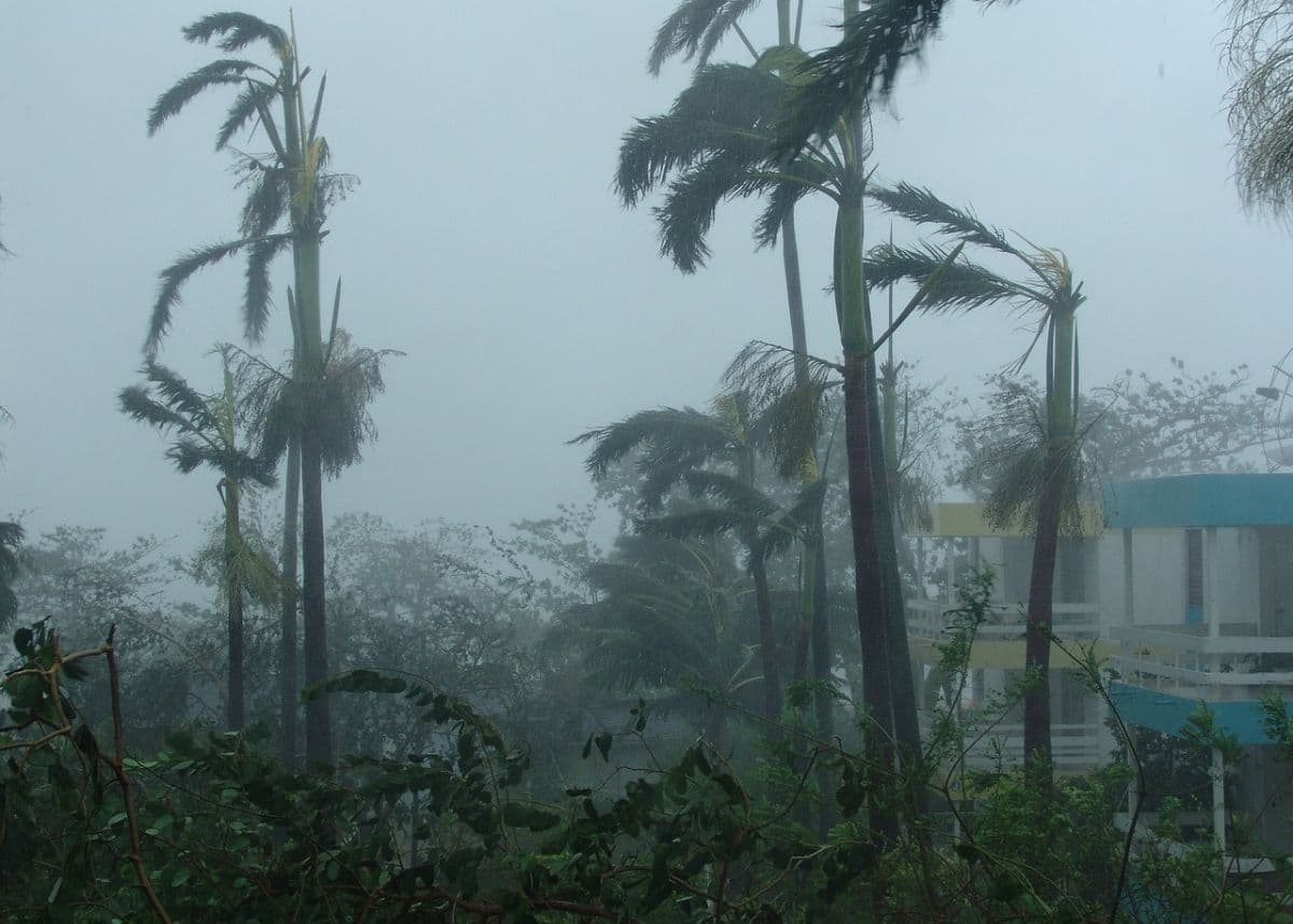
Severe Weather Warning: Heavy Rain, Hail and Excessive Lightning Forecast to Hit South Africa This Weekend
South Africans are urged to prepare for disruptive weather as forecasts predict heavy rain, hail, and excessive lightning. While specific regional impacts remain unconfirmed, the early September warning signals a volatile start to the spring season.
Severe Weather Alert: Thunderstorms, Flooding, and Damaging Winds Set to Lash South Africa
Large parts of South Africa are bracing for a day of severe weather this Friday. Authorities warn of potential flooding, intense thunderstorms, and damaging winds across multiple regions.
Friday Weather Alert: South Africa Faces Strong Winds, High Fire Danger, and Scattered Showers
South Africans are urged to remain vigilant on Friday, 28 August 2026, as national weather alerts warn of strong winds, high fire danger, and scattered showers. While specific regional impacts remain unconfirmed, emergency services are preparing for potential disruptions.

WEATHER: South Africans Warned to Prepare for Strong Winds This Weekend
Reports from 21 August 2026 warn of strong winds expected across South Africa this weekend. While specific regional impacts remain unconfirmed, residents are urged to take precautions and monitor local weather updates.
South Africa Braces for Severe Weather Alert Warning of Damaging Winds, Waves, and Extreme Fire Danger
A national weather alert has been issued for South Africa on 5 August 2026, warning of damaging winds, high waves, and extreme fire danger. While specific regional impacts remain unconfirmed, residents are urged to prepare for potential disruptions.