Severe Weather Warning: Heavy Rain, Hail and Excessive Lightning Forecast to Hit South Africa This Weekend
South Africans are urged to prepare for disruptive weather as forecasts predict heavy rain, hail, and excessive lightning. While specific regional impacts remain unconfirmed, the early September warning signals a volatile start to the spring season.
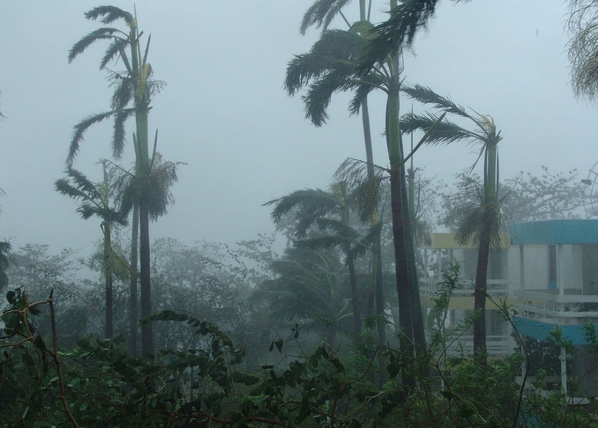
South Africans are being urged to prepare for a significant shift in weather conditions as reports emerge of impending heavy rain, hail, and excessive lightning set to hit parts of the country over the coming weekend. According to initial forecasting reports published on 4 September 2026, these severe weather elements are expected to impact South Africa, marking a potentially disruptive period for residents across affected regions.
While the primary alert warns of three major hazards—torrential downpours, hailstorms, and high-frequency lightning strikes—specific provincial breakdowns and exact timing windows have not yet been fully detailed in the preliminary reports. It remains unclear which specific municipalities or provinces will bear the brunt of the storm systems. However, the combination of these three elements typically signals a strong convective weather pattern, which is common during seasonal transitions in South Africa.
The timing of this weather warning, coming in early September, aligns with the traditional start of South Africa's spring season. During this time of year, the collision of warm, moist air from the north with cooler southern maritime air masses frequently triggers severe afternoon thunderstorms, particularly over the interior plateau. This transition period often brings sudden and violent weather shifts, making early warnings crucial for public safety and disaster preparedness.
Heavy rainfall presents immediate risks of localised flooding, particularly in low-lying areas, informal settlements, and urban centres with compromised drainage systems. When combined with hail, the potential for property damage increases significantly. Hail can damage vehicles, shatter windows, and devastate agricultural crops, which are particularly vulnerable during the early spring planting season.
The warning's emphasis on "excessive lightning" is a critical point of concern for South Africans. South Africa has one of the highest rates of lightning-related injuries and fatalities globally, particularly in open rural areas and high-altitude regions like Gauteng, Mpumalanga, and KwaZulu-Natal. Excessive lightning also poses a direct threat to electrical infrastructure, potentially exacerbating ongoing power grid vulnerabilities and causing localised outages due to struck transformers.
In light of these forecasted conditions, residents are advised to take proactive safety measures despite the lack of highly localised geographic data at this stage. Standard safety protocols for severe electrical storms include staying indoors, avoiding the use of electrical appliances, and steering clear of metal objects and bodies of water. Motorists are also cautioned to avoid travelling during peak storm activity due to the combined hazards of reduced visibility, wet roads, and potential hail damage.
As the weekend approaches, several critical details remain unconfirmed. The exact trajectory of the storm systems, the estimated millimetres of rainfall, and the specific size of the anticipated hail have not been quantified in the initial alerts. Furthermore, official watch or warning levels from the South African Weather Service (SAWS) will need to be monitored closely to determine if orange or red alerts will be issued for specific districts.
Moving forward, the public is strongly encouraged to monitor local meteorological updates and official emergency services channels for real-time developments. As more detailed tracking data becomes available, localised disaster management teams are expected to issue specific advisories. Staying informed through verified news sources and official weather applications will be essential for navigating the incoming weekend weather safely.
Reporting record
How this story was produced
This article was AI-generated from the frozen trend evidence and passed deterministic quality and safety gates. No cross-provider evidence review or independent human verification is claimed for this record.
- Byline
- Newstrends AI Newsroom
- First published
- Last material update
- No later material update recorded
- Distinct source identifiers
- 1 retained source identifier
Frozen source links for this publication
Chronology
Story timeline
A generated chronology for orientation; dates and details may require source verification.
Update
Initial weather reports warn of heavy rain, hail, and excessive lightning heading towards South Africa for the weekend.
Update
Anticipated onset of the severe weekend weather system across affected regions.
Reader file
Frequently asked questions
01When is the severe weather expected to hit South Africa?
According to initial forecasting reports, the severe weather conditions are expected to impact the country over the weekend starting from early September 2026.
02Which provinces will be affected by the rain, hail, and lightning?
The exact regional distribution and specific provincial impacts remain unconfirmed in the initial reports. Residents across South Africa are advised to monitor local updates.
03What are the main hazards associated with this weather system?
The forecast warns of three primary hazards: heavy rainfall that could lead to localised flooding, damaging hail, and excessive lightning.
Keep reading
Related coverage
More published reporting connected to this story.
Friday Weather Alert: South Africa Faces Strong Winds, High Fire Danger, and Scattered Showers
South Africans are urged to remain vigilant on Friday, 28 August 2026, as national weather alerts warn of strong winds, high fire danger, and scattered showers. While specific regional impacts remain unconfirmed, emergency services are preparing for potential disruptions.
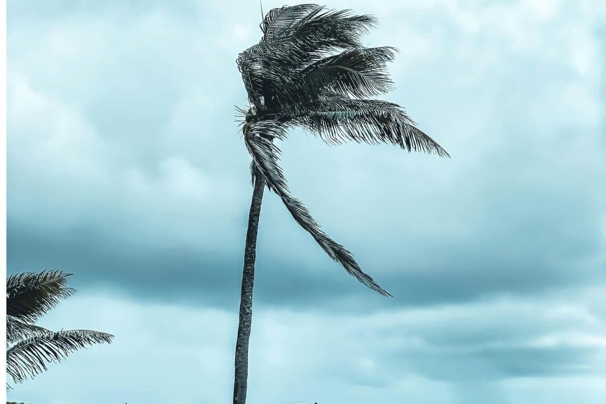
WEATHER: South Africans Warned to Prepare for Strong Winds This Weekend
Reports from 21 August 2026 warn of strong winds expected across South Africa this weekend. While specific regional impacts remain unconfirmed, residents are urged to take precautions and monitor local weather updates.
South Africa Braces for Severe Weather Alert Warning of Damaging Winds, Waves, and Extreme Fire Danger
A national weather alert has been issued for South Africa on 5 August 2026, warning of damaging winds, high waves, and extreme fire danger. While specific regional impacts remain unconfirmed, residents are urged to prepare for potential disruptions.
Weekend Weather Alert: Wind, Rain and Chilly Conditions Set to Hit Parts of South Africa
South Africans are warned to prepare for a cold, wet, and windy weekend as a late-winter weather system approaches. While specific regional details remain unconfirmed, residents across vulnerable areas are urged to take necessary precautions.

South Africa Braces for Disruptive Snow and Rain as Severe Weekend Weather Approaches
South Africans are warned to prepare for a weekend of severe weather, with disruptive snow and heavy rain forecast to hit the country. The upcoming weather system is expected to cause travel delays and localized disruptions across several regions.