Severe Thunderstorm Warning Issued for Five South African Provinces
A major weather alert has warned that severe thunderstorms are set to impact five provinces across South Africa. While the specific provinces have not yet been officially named, residents are urged to prepare for potential localized flooding, strong winds, and lightning.
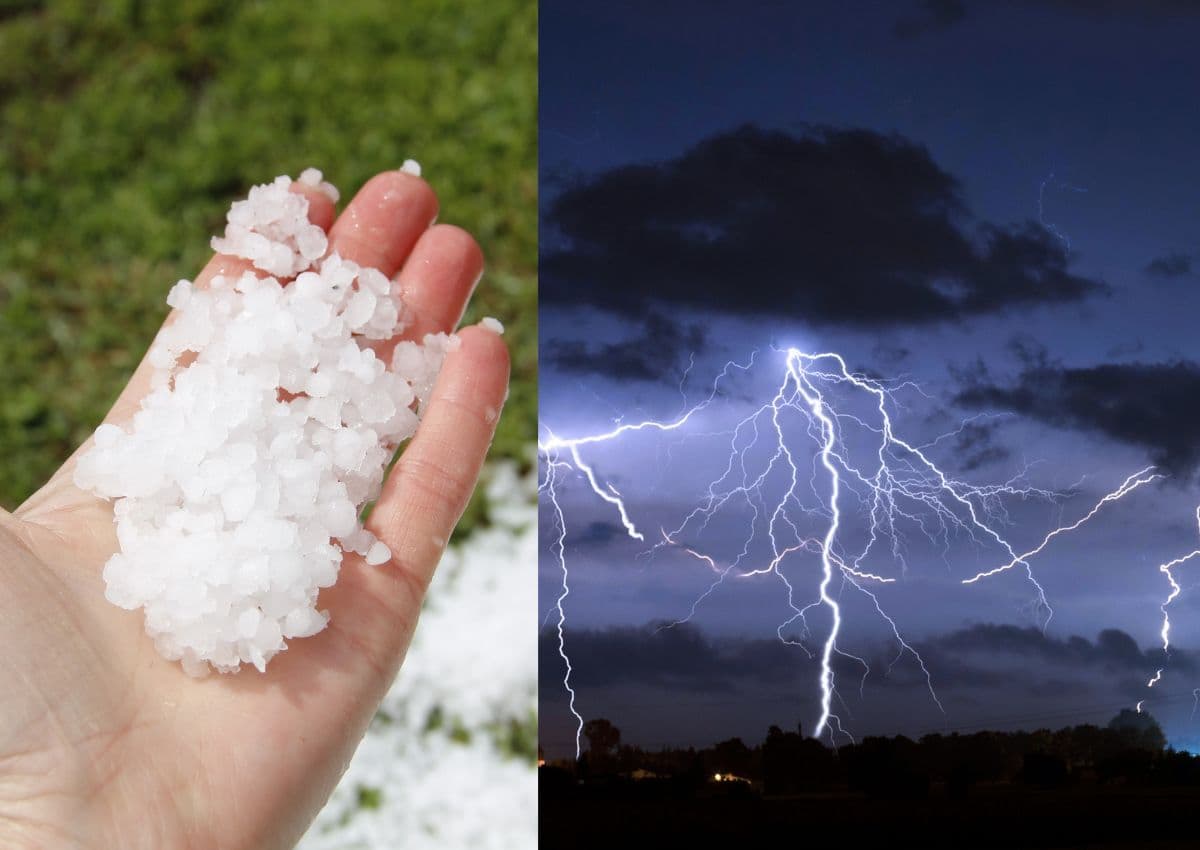
On 6 September 2026, weather alerts flagged a significant meteorological event heading for South Africa, warning residents that severe thunderstorms are projected to hit five provinces across the country. The alert, which emerged on Sunday evening, has raised immediate awareness among communities and emergency services preparing for the sudden shift in weather patterns. While South Africans are no strangers to dramatic seasonal transitions, the broad scope of this warning—covering more than half of the country's nine provinces—underscores the potential severity of the incoming weather systems.
The initial report, published by local news outlet The South African, highlighted the developing weather threat but left several critical details to be confirmed by national meteorological authorities. As of the evening of 6 September, the specific identities of the five affected provinces have not been officially detailed in the preliminary reports. In South Africa, early September marks the beginning of the spring season, a period historically associated with highly volatile atmospheric conditions as warm, moist air from the north collides with cooler southern maritime fronts.
Because the specific list of the five impacted provinces remains unconfirmed in the initial advisory, residents across all high-risk regions are urged to monitor local updates closely. Typically, severe spring thunderstorms in South Africa frequently impact the interior and eastern provinces, including Gauteng, Mpumalanga, KwaZulu-Natal, the Free State, and the North West. However, without official confirmation linking these specific regions to the current warning, meteorologists emphasize the necessity of waiting for localized zone-by-zone alerts from the South African Weather Service (SAWS).
Severe thunderstorms in the South African context carry substantial risks that extend far beyond simple rain showers. These systems are often characterized by heavy downpours capable of causing flash flooding, particularly in urban areas with constrained drainage systems. Additionally, large hail, damaging winds, and intense lightning strikes are common hazards that pose direct threats to human life, livestock, agricultural crops, and critical infrastructure such as power grids and road networks.
For local municipalities and disaster management teams, warnings of this nature serve as a vital call to action. Municipalities in potentially affected provinces must ensure that storm water drains are clear of debris to mitigate flooding risks. Furthermore, utility providers, including Eskom and local municipal electricity departments, are often put on high alert during severe storms due to the high probability of lightning strikes damaging transformers or strong winds knocking down power lines, leading to localized blackouts.
In the absence of granular geographic data, general safety guidelines remain the most effective tool for citizens. Disaster management agencies consistently advise South Africans to avoid traveling during active thunderstorm warnings if possible. Motorists are particularly cautioned against attempting to cross low-lying bridges or flooded roads, which are notorious for sweeping vehicles away. Homeowners are also encouraged to secure loose outdoor objects and unplug sensitive electronic equipment to protect against power surges caused by lightning.
Moving forward, the critical next step for South Africans is to watch for official updates from national weather forecasters. The South African Weather Service is expected to release detailed colour-coded weather warnings—ranging from Yellow level alerts for minor impacts to Orange or Red alerts for severe disruptions—as the storm systems develop. These updates will clarify which five provinces are directly in the path of the severe weather, allowing local communities to take specific, targeted precautions to protect themselves and their property.
Reporting record
How this story was produced
This article was AI-generated from the frozen trend evidence and passed deterministic quality and safety gates. No cross-provider evidence review or independent human verification is claimed for this record.
- Byline
- Newstrends AI Newsroom
- First published
- Last material update
- No later material update recorded
- Distinct source identifiers
- 1 retained source identifier
Frozen source links for this publication
Chronology
Story timeline
A generated chronology for orientation; dates and details may require source verification.
Update
Initial weather alert published warning of severe thunderstorms set to hit five South African provinces.
Reader file
Frequently asked questions
01Which five provinces are affected by the severe thunderstorm warning?
The specific names of the five provinces were not detailed in the initial alert published on 6 September 2026. Residents are advised to monitor updates from the South African Weather Service (SAWS) for localized details.
02What are the main risks associated with these thunderstorms?
Severe spring thunderstorms in South Africa typically bring risks of heavy downpours, flash flooding, damaging winds, large hail, and dangerous lightning strikes.
03How should I prepare for a severe thunderstorm?
Keep secure any loose outdoor items, avoid traveling during active storms, do not attempt to cross low-lying bridges, and unplug sensitive electronic devices to prevent damage from lightning power surges.
Keep reading
Related coverage
More published reporting connected to this story.
Cut-off low pressure system to bring heavy rain, damaging winds and storms to parts of South Africa
A developing cut-off low pressure system is set to bring severe weather, including heavy rain and damaging winds, to parts of South Africa. While specific regional details remain unconfirmed, residents are urged to prepare for potential disruptions.
Severe Weather Alert: Thunderstorms, Flooding, and Damaging Winds Set to Lash South Africa
Large parts of South Africa are bracing for a day of severe weather this Friday. Authorities warn of potential flooding, intense thunderstorms, and damaging winds across multiple regions.
Weather Alert: Strong winds and rain expected to hit parts of South Africa
South Africans are advised to prepare for incoming strong winds and wet weather following initial alerts on 1 August 2026. While specific regions remain unconfirmed, the transition into August typically brings volatile weather across the country.

WEATHER: South Africans Warned to Prepare for Strong Winds This Weekend
Reports from 21 August 2026 warn of strong winds expected across South Africa this weekend. While specific regional impacts remain unconfirmed, residents are urged to take precautions and monitor local weather updates.

WEATHER: South African Provinces Brace for Incoming Light Snow, Rain and Gale-Force Winds
South Africans are urged to prepare for a sudden shift in weather as reports warn of light snow, rain, and gale-force winds. While specific provinces have not yet been detailed, residents across vulnerable regions should remain alert.