Orange Level 6 Warning Issued: Severe Storms Threaten Parts of South Africa
An Orange Level 6 weather warning has been issued as severe storms threaten several parts of South Africa. Residents are urged to remain vigilant as the high-level alert indicates a strong likelihood of significant disruptions and potential damage. While specific regional details remain limited, precautionary safety measures are highly recommended.

South Africans are urged to exercise extreme caution following the issuance of an Orange Level 6 weather warning for severe storms threatening parts of the country. The alert, which surfaced on Saturday, 5 September 2026, highlights an escalating weather situation that could pose significant risks to life, property, and infrastructure. While initial reports from local media sources, including The South African, have confirmed the high-level alert, specific regional allocations and the exact timing of the storm's onset remain critical details that residents across various provinces must monitor closely.
In the context of South Africa’s impact-based weather warning system, an Orange Level 6 warning is a serious classification. It indicates a high probability of progressive, disruptive weather conditions that can lead to localised flooding, structural damage, and severe disruptions to transport and basic services. Unlike yellow or lower-level alerts, an Orange Level 6 warning signals that the impending weather event has a substantial likelihood of causing major disruptions, requiring disaster management teams and the public to be on high alert and fully prepared for emergency contingencies.
As of the afternoon of 5 September 2026, the precise geographical boundaries of the affected "parts of SA" have not been fully detailed in the preliminary reports. In South Africa, severe spring storms can rapidly impact provinces ranging from Gauteng, Mpumalanga, and KwaZulu-Natal to parts of the Free State and the Eastern Cape. Because the initial alert does not specify which municipalities or districts are directly in the path of the severe weather, residents nationwide—particularly those in flood-prone or low-lying areas—are advised to treat the warning with urgency until localised updates are officially clarified.
Severe storms of this magnitude typically bring a combination of heavy downpours, strong winds, and potentially damaging hail. For South African communities, these conditions present immediate hazards, such as flooded roads, reduced visibility for motorists, and the risk of informal settlement structures being damaged. Public infrastructure, including electricity grids and drainage systems, often faces severe strain during Level 6 events. Consequently, localised power outages and municipal service disruptions are common secondary effects that residents should prepare for in the coming hours.
In the absence of localised directives, standard safety protocols for severe storm warnings apply. Disaster management authorities generally advise South Africans to avoid crossing low-lying bridges or flooded roadways, which are notorious for sweeping vehicles away. Staying indoors, securing loose outdoor items, and unplugging sensitive electronic equipment to protect against lightning surges are also recommended. For those living in areas prone to flash flooding, identifying higher ground and keeping emergency contact numbers on hand are vital steps to ensure personal safety.
As this weather event develops, the importance of relying on verified, real-time information cannot be overstated. South Africans are encouraged to monitor updates from the South African Weather Service (SAWS) and local municipal disaster management centres. These entities provide the necessary regional specificity, including estimated rainfall volumes, wind speeds, and localised evacuation or safety orders. Keeping an eye on reputable local news outlets and official social media feeds will ensure that communities receive timely updates as the storms progress across the country.
The issuance of an Orange Level 6 warning serves as a stark reminder of the volatile weather patterns that can emerge across South Africa. With severe storms threatening multiple regions, proactive preparation and vigilance are the most effective tools for minimising harm. While the full scale and exact path of the storm system continue to unfold, staying informed through official channels remains the priority for all citizens as they navigate this significant weather threat.
Reporting record
How this story was produced
This article was AI-generated from the frozen trend evidence and passed deterministic quality and safety gates. No cross-provider evidence review or independent human verification is claimed for this record.
- Byline
- Newstrends AI Newsroom
- First published
- Last material update
- No later material update recorded
- Distinct source identifiers
- 1 retained source identifier
Frozen source links for this publication
Chronology
Story timeline
A generated chronology for orientation; dates and details may require source verification.
Update
An Orange Level 6 weather warning is officially monitored and reported as severe storms threaten parts of South Africa.
Reader file
Frequently asked questions
01What does an Orange Level 6 weather warning mean in South Africa?
An Orange Level 6 warning indicates a high likelihood of significant weather impacts or a medium likelihood of severe impacts, including localised flooding, structural damage, and major travel disruptions.
02Which parts of South Africa are affected by the storm warning?
The initial alert specifies that severe storms threaten parts of South Africa, but the precise provinces and municipalities have not been fully detailed in the preliminary reports. Residents should monitor local updates.
03What precautions should residents take during a severe storm?
Residents should avoid crossing low-lying bridges, stay indoors, secure loose outdoor items, and closely monitor updates from local disaster management authorities.
Keep reading
Related coverage
More published reporting connected to this story.
Orange Level 6 Warning Issued as Severe Storms Threaten Parts of South Africa
An Orange Level 6 weather warning has been issued for severe storms threatening parts of South Africa. Residents are urged to remain vigilant as the high-level alert indicates a significant risk of localized damage and disruptions.
Weather Alert: Damaging Winds Forecast for South Africa as Most Provinces Stay Warm and Partly Cloudy
A national weather outlook for 26 August 2026 warns of damaging winds across South Africa, despite most provinces expecting warm and partly cloudy conditions. Residents are urged to secure property and exercise caution on the roads.
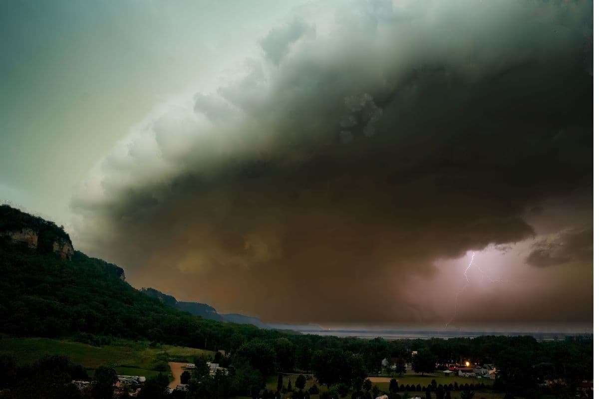
Free State and North West Brace for Severe Storms
Residents in the Free State and North West provinces have been warned to prepare for severe storms. While initial reports confirm the weather alerts, specific details regarding the storm's path and intensity remain unconfirmed.
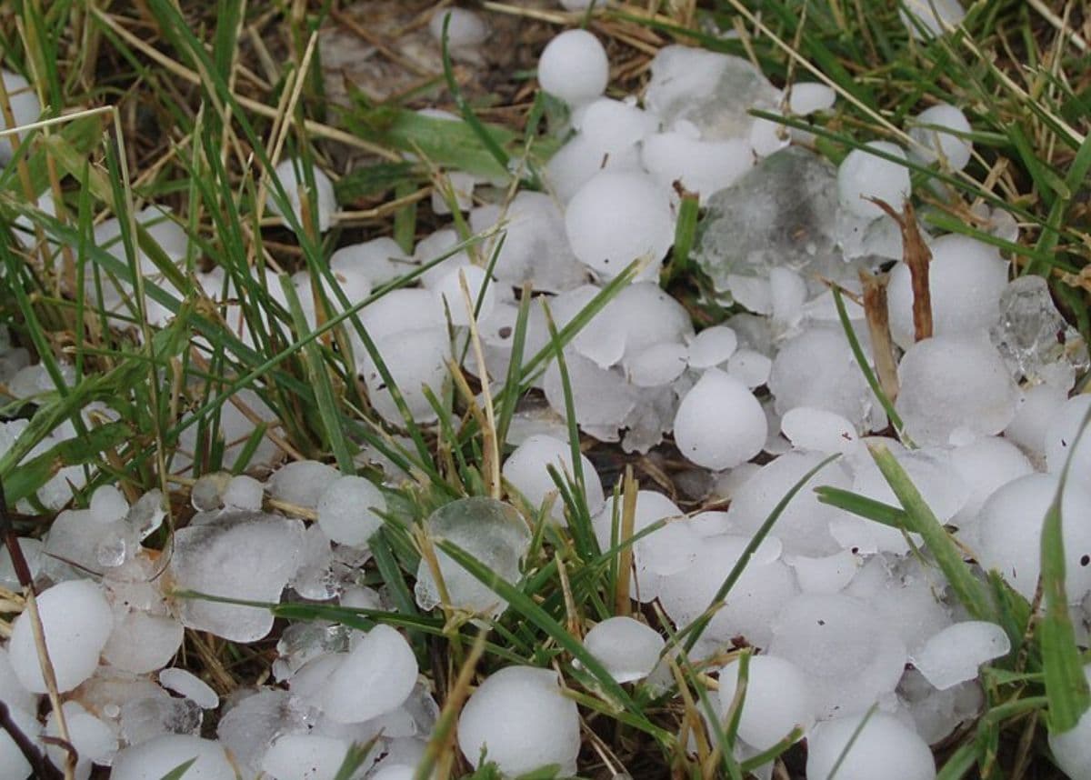
South Africa Braces for Severe Weather: Bitter Cold, Storms, Flooding and Hail Forecast
South Africans are warned to prepare for a severe weather system bringing bitter cold and powerful storms. The alert forecasts localized flooding and destructive hail, posing significant risks to infrastructure and safety.

Weather Alert: South Africans Urged to Brace for Strong Afternoon Winds
A weather alert issued on 27 August 2026 has warned South Africans of strong afternoon winds. While the initial report did not specify the exact province affected, residents nationwide are urged to exercise caution.