Free State and North West on Alert as Severe Storm Warnings Emerge
Residents across the Free State and North West provinces are bracing for severe storms following early weather alerts. While specific meteorological details remain unconfirmed, local communities are urged to prepare for potential disruptions.
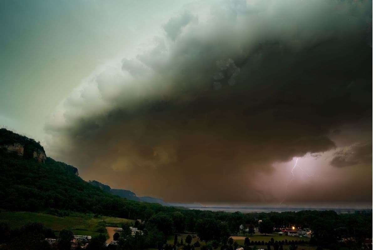
On 5 September 2026, severe weather warnings emerged for the Free State and North West provinces, prompting residents and local authorities to brace for incoming storms. The alert, which was first reported by local news outlet The South African, highlights a developing weather situation across these central and northern interior regions of the country. With the transition of seasons, such atmospheric changes often bring volatile conditions to the highveld and surrounding plains.
The Free State and North West are vital agricultural hubs in South Africa, often referred to as the country's breadbasket due to their extensive crop and livestock farming. Severe storms in these areas can have a significant impact on farming activities, local infrastructure, and major transport routes. Highways connecting Gauteng to the western and southern parts of the country run directly through these provinces, making regional weather alerts highly significant for national logistics.
At this stage of the weather event, the precise meteorological details—such as predicted rainfall volumes, wind speeds, the likelihood of hail, or the exact timing of the storm systems—have not been fully detailed in the initial reports. What is clear is that regional observers and residents are treating the warnings with high priority. This lack of specific localized data in the early hours of the alert highlights the importance of ongoing monitoring as the weather systems develop.
When severe storm alerts are issued for South Africa's interior, standard safety protocols focus on securing loose outdoor property, clearing domestic drainage systems, and avoiding unnecessary travel. For motorists navigating the vast road networks of the Free State and North West, low-lying bridges and roads prone to sudden flooding represent major hazards. Traffic authorities typically advise drivers to pull over safely if visibility deteriorates or if roads become waterlogged.
In provinces dominated by maize, sunflower, and cattle farming, severe weather can cause severe soil erosion, damage to young crops, and direct risks to livestock. Farmers in the North West and Free State are often forced to make rapid adjustments, such as moving livestock to higher ground and securing agricultural outbuildings, to mitigate potential financial losses. The timing of these storms is always a critical factor for agricultural planning and risk management.
Furthermore, both provinces feature a mix of bustling urban municipalities and vast, sparsely populated rural areas. Infrastructure in informal settlements and rural villages is historically vulnerable to heavy downpours and strong winds. Local disaster management teams in these regions face the logistical challenge of coordinating emergency responses across massive geographic distances, making early warnings and community self-preparedness essential.
As the weather system progresses, residents are advised to keep a close eye on official updates from the South African Weather Service (SAWS) and provincial disaster management centres. These official bodies are expected to provide real-time updates, including specific warning levels and localized impact assessments as the storms move across the central interior. Staying tuned to local radio stations and official social media feeds is highly recommended.
While the full scale, severity, and exact path of the severe storms remain to be seen, the initial warnings serve as a timely reminder of the unpredictable weather patterns that characterise South Africa's interior. Keeping informed through verified news platforms and official meteorological channels remains the most effective way for communities in both the Free State and the North West to navigate the impending weather safely.
Reporting record
How this story was produced
This article was AI-generated from the frozen trend evidence and passed deterministic quality and safety gates. No cross-provider evidence review or independent human verification is claimed for this record.
- Byline
- Newstrends AI Newsroom
- First published
- Last material update
- No later material update recorded
- Distinct source identifiers
- 1 retained source identifier
Frozen source links for this publication
Chronology
Story timeline
A generated chronology for orientation; dates and details may require source verification.
Update
Severe weather alerts are published indicating that the Free State and North West provinces are bracing for severe storms.
Reader file
Frequently asked questions
01Which areas in South Africa are affected by the severe storm warnings?
According to the initial reports, the weather warnings cover the Free State and North West provinces.
02What are the specific details of the severe storms?
Specific meteorological details, such as exact wind speeds, rainfall figures, or precise timing, have not yet been detailed in the initial reports. Residents should monitor local weather channels for updates.
Keep reading
Related coverage
More published reporting connected to this story.
Weather Alert: Damaging Winds Forecast for Northern Cape as Frost Threatens Gauteng and Free State
South Africans face highly contrasting weather conditions on Friday, 14 August 2026. A weather alert warns of damaging winds in the Northern Cape and frost in Gauteng and the Free State, while the Eastern Cape enjoys fine and warm conditions.
Severe Weather Warning: South Africa Braces for Thunderstorms, Strong Winds and Rough Seas this Saturday
South Africa is preparing for a weekend of severe weather, with forecasts predicting severe thunderstorms, strong winds, and rough seas on Saturday, 5 September 2026. Residents and coastal users are urged to exercise caution as volatile weather conditions take hold.

Weather Warning: South Africans Urged to Brace for Gusty Winds and Thundershowers
A weather advisory issued on 4 September 2026 warns of incoming gusty winds and thundershowers across South Africa. While the exact provinces affected remain unspecified, residents are urged to take general precautions as spring weather transitions begin.
Strong Coastal Winds Forecast to Sweep Between Eastern Cape and KwaZulu-Natal on Thursday
Weather forecasts warn of strong coastal winds affecting the coastline between the Eastern Cape and KwaZulu-Natal on Thursday, 27 August 2026. While specific wind speeds remain unconfirmed, residents and maritime operators are advised to exercise caution.
Weather Alert: Damaging Winds Forecast for South Africa as Most Provinces Stay Warm and Partly Cloudy
A national weather outlook for 26 August 2026 warns of damaging winds across South Africa, despite most provinces expecting warm and partly cloudy conditions. Residents are urged to secure property and exercise caution on the roads.