Strong Coastal Winds Forecast to Sweep Between Eastern Cape and KwaZulu-Natal on Thursday
Weather forecasts warn of strong coastal winds affecting the coastline between the Eastern Cape and KwaZulu-Natal on Thursday, 27 August 2026. While specific wind speeds remain unconfirmed, residents and maritime operators are advised to exercise caution.
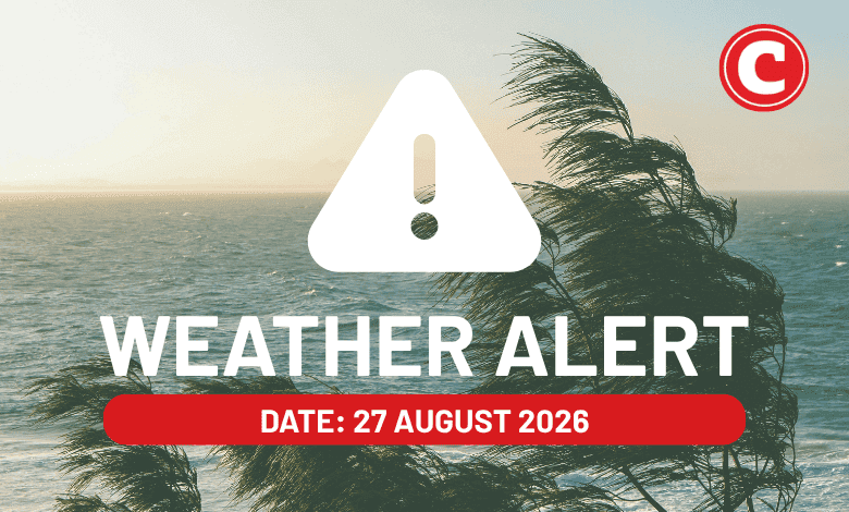
South Africans residing along the eastern and south-eastern coastlines are advised to prepare for a windy Thursday, as weather forecasts indicate that strong coastal winds are set to sweep through the region. According to the latest weather reports scheduled for Thursday, 27 August 2026, the affected coastal belt stretches significantly between the Eastern Cape and KwaZulu-Natal. This weather pattern is expected to influence daily activities, particularly those close to the shoreline, making it a key focus for local residents and maritime operators alike.
The stretch of coastline between the Eastern Cape and KwaZulu-Natal is renowned for its diverse topography, ranging from the rugged cliffs of the Wild Coast to the subtropical beaches of Durban and the North Coast. Because of this unique geography, coastal winds can behave unpredictably, channeling through river valleys and intensifying near prominent headlands. While wind is a regular feature of South Africa’s coastal transition seasons, strong gusts along this specific corridor require careful attention due to the high volume of maritime, industrial, and recreational activity in the area.
At this stage, the primary detail confirmed by the weather forecast is the presence of strong coastal winds along this eastern seaboard on Thursday. However, several specific details remain unconfirmed in the initial reports. The exact velocity of the wind, measured either in kilometers per hour or knots, has not been detailed, nor has the precise timing of when the strongest gusts are expected to peak. Additionally, it remains unclear whether the South African Weather Service (SAWS) has issued formal, impact-based color-coded warnings, such as a Yellow Level 2 or Level 4 alert, for this specific event.
Despite the lack of specific wind speed measurements, the general implications of strong coastal winds in South Africa are well-understood by locals. For the maritime sector, such conditions can disrupt port operations in key coastal cities like East London, Gqeberha, and Durban. Large commercial vessels may experience delays in docking or departing, while smaller fishing boats and recreational watercraft are typically urged to remain in safe harbours. Strong offshore or onshore winds can also create hazardous swell conditions, making sea swimming and shoreline angling highly risky.
On land, the impact of these strong winds is often felt most acutely on the roads. The N2 highway, which serves as the primary vehicular artery connecting the Eastern Cape and KwaZulu-Natal, runs close to the coast in several sections. High-sided vehicles, such as trucks, buses, and caravans, are particularly vulnerable to sudden crosswinds along this route. Local motorists are generally advised to maintain a firm grip on the steering wheel, reduce speed, and keep a safe following distance from larger vehicles that may struggle to stay within their lanes.
The timing of this weather event, occurring in late August, aligns with South Africa's traditional transition from winter to spring. During this period, the country frequently experiences strong pressure gradients as cold polar air masses from the south interact with warmer subtropical air from the north. This clash of atmospheric systems regularly generates robust wind fields along the coast. While these winds are a natural part of the seasonal shift, they serve as a reminder of the volatile weather patterns typical of late August across the subcontinent.
As Thursday progresses, residents, travelers, and businesses operating along the coastal zones of both the Eastern Cape and KwaZulu-Natal are encouraged to stay informed. Keeping a close eye on real-time updates from official meteorological channels will be crucial for obtaining specific wind speed readings, localized damage reports, or sudden changes in the forecast. Taking proactive measures, such as securing loose outdoor items and planning travel routes with potential wind delays in mind, remains the most practical approach to navigating the day's weather safely.
Reporting record
How this story was produced
This article was AI-generated from the frozen trend evidence and passed deterministic quality and safety gates. No cross-provider evidence review or independent human verification is claimed for this record.
- Byline
- Newstrends AI Newsroom
- First published
- Last material update
- No later material update recorded
- Distinct source identifiers
- 1 retained source identifier
Frozen source links for this publication
Chronology
Story timeline
A generated chronology for orientation; dates and details may require source verification.
Update
Weather reports emerge indicating strong coastal winds are expected on Thursday.
Update
Strong coastal winds forecast to impact the coastline between the Eastern Cape and KwaZulu-Natal.
Reader file
Frequently asked questions
01Which areas are expected to be affected by the strong winds?
The strong coastal winds are forecast to affect the coastal region stretching between the Eastern Cape and KwaZulu-Natal.
02What are the expected wind speeds for Thursday?
The exact wind speeds and peak gust times have not been specified in the initial weather reports.
03Are there any official weather warnings in place?
It remains unconfirmed whether the South African Weather Service (SAWS) has issued formal, impact-based warnings for this specific wind event.
Keep reading
Related coverage
More published reporting connected to this story.
KZN Weather Alert: Strong Winds and Dangerous Waves Forecast for Coastal Parts
Parts of KwaZulu-Natal are bracing for adverse weather as reports warn of strong winds and dangerous waves. Residents, beachgoers, and maritime operators along the coastline are advised to exercise caution.
Orange Level Warnings: Disruptive Snow in Eastern Cape as Rain Hits KwaZulu-Natal Coast
Severe winter weather alerts have been issued for 28 July 2026, with the Eastern Cape facing disruptive snow and the KwaZulu-Natal coast bracing for persistent rain.
Weather Alert: Damaging Winds Forecast for Northern Cape as Frost Threatens Gauteng and Free State
South Africans face highly contrasting weather conditions on Friday, 14 August 2026. A weather alert warns of damaging winds in the Northern Cape and frost in Gauteng and the Free State, while the Eastern Cape enjoys fine and warm conditions.
South Africa Braces for Fine but Cold Saturday with Alerts for Damaging Coastal Winds and Waves
A national weather alert has been issued for Saturday, 1 August 2026, warning of fine but cool to cold conditions alongside damaging coastal winds and waves. Coastal residents and marine users are urged to exercise extreme caution as adverse conditions develop.
KZN braced for damaging winds and waves on Friday, 31 July 2026
KwaZulu-Natal is on alert as a weather warning forecasts damaging winds and waves for Friday, 31 July 2026. While the broad hazards are identified, specific wind speeds, wave heights, and exact localised impacts remain unconfirmed.