Saturday Weather: Fine and Cool for Gauteng as Fog and Showers Spread Across Provinces
South Africans can expect highly varied weather conditions this Saturday, 29 August 2026. While Gauteng is set for fine and cool conditions, other provinces will face spreading fog and wet weather.

South Africans planning their weekend activities will experience a diverse mix of weather conditions this Saturday, 29 August 2026. According to the latest forecast data published by local news outlet The Citizen, regional conditions will vary significantly across the country's provinces. Residents in Gauteng can look forward to a stable, fine, and cool day, providing a pleasant start to the weekend. However, the outlook is less clear for other parts of the country, where spreading fog and scattered showers are expected to impact multiple provinces.
The weather update, captured on Friday, 28 August 2026, highlights a stark contrast between the interior plateau and other regions. While Gauteng enjoys clear skies and mild, cool temperatures, a weather system bringing moisture is anticipated to spread across several other provinces. This contrast is typical for late August in South Africa, a period often characterized by transitional weather patterns as the country gradually moves away from the dry winter months toward the spring season.
While the broad trend of fine conditions in Gauteng and wet, misty weather elsewhere has been established, several specific details remain unconfirmed in the initial reports. The available data does not specify which exact provinces outside of Gauteng will experience the most severe showers, nor does it detail the density of the expected fog. Additionally, precise minimum and maximum temperatures for major metropolitan areas, such as Johannesburg, Pretoria, Durban, or Cape Town, have not been detailed in this preliminary forecast.
For Gauteng residents, the forecast of "fine and cool" weather suggests a highly favorable day for outdoor recreation, errands, and social gatherings. In South African meteorological terms, "fine" indicates clear skies with little to no cloud cover, while "cool" implies that while daytime temperatures will be comfortable, residents may still need to keep a jacket or jersey close at hand, especially during the early morning and late evening hours when temperatures typically drop.
Conversely, the spreading fog and showers forecast for other provinces present practical challenges, particularly for road safety. Fog significantly reduces visibility on national and regional roads, making early morning travel hazardous. Motorists traveling through affected areas are urged to exercise extreme caution, reduce their speed, maintain a safe following distance, and utilize their vehicle's fog lights rather than high beams, which can reflect off the mist and further impair vision.
The introduction of showers also brings the risk of slippery road surfaces. After periods of dry weather, the first rains can mix with accumulated oil and dust on the tarmac, creating highly dangerous driving conditions. Beyond transport, spreading showers can disrupt outdoor public events, construction projects, and agricultural operations. Farmers and outdoor workers in the affected provinces will need to adjust their schedules to accommodate the wet weather.
As the weekend progresses, the primary source of concern will be how quickly these weather systems move and whether they intensify. Because the current trend data does not outline wind speeds, potential marine warnings for coastal provinces, or severe weather alerts, it is vital for citizens to seek updated information. The lack of specific regional breakdowns in the early forecast means that localized weather shifts could catch unprepared residents by surprise.
To ensure safety and convenience, South Africans are advised to monitor official channels, such as the South African Weather Service (SAWS), for real-time updates and localized warnings. Watching for updated satellite imagery and provincial alerts will help motorists and residents make informed decisions. Whether navigating the misty roads of the coastal provinces or enjoying the clear, cool breeze in Gauteng, staying informed remains the best way to navigate Saturday's diverse weather landscape.
Reporting record
How this story was produced
This article was AI-generated from the frozen trend evidence and passed deterministic quality and safety gates. No cross-provider evidence review or independent human verification is claimed for this record.
- Byline
- Newstrends AI Newsroom
- First published
- Last material update
- No later material update recorded
- Distinct source identifiers
- 1 retained source identifier
Frozen source links for this publication
Chronology
Story timeline
A generated chronology for orientation; dates and details may require source verification.
Update
Weather forecast data published highlighting contrasting conditions for the upcoming Saturday.
Update
Fine and cool weather expected in Gauteng, while fog and showers spread across other South African provinces.
Reader file
Frequently asked questions
01What weather is expected for Gauteng this Saturday?
Gauteng is forecast to experience fine and cool weather conditions, making it ideal for outdoor activities, though residents may still need light jackets.
02Which provinces will be affected by fog and showers?
The current forecast indicates that fog and showers will spread across other provinces, but specific regional details and affected areas have not been detailed in the initial report.
03What safety precautions should motorists take?
Drivers in provinces experiencing fog and showers should reduce their speed, maintain safe following distances, use fog lights, and remain cautious of slippery road surfaces.
Keep reading
Related coverage
More published reporting connected to this story.
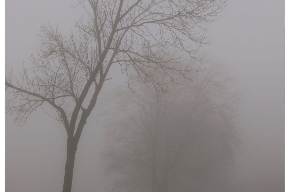
Weather Alert: Dense Morning Fog Forecasted Across Six South African Provinces
Commuters and motorists across six South African provinces are warned to prepare for hazardous driving conditions due to expected dense morning fog. The widespread weather event is projected to significantly reduce visibility on major transport routes. Authorities urge extra caution during the early morning commute.

WEATHER: Morning Fog Patches Expected to Impact Parts of South Africa
A weather advisory warns of morning fog patches developing across several parts of South Africa. Motorists and commuters are urged to exercise caution due to significantly reduced visibility on major transport routes.

Snow Alert: Gauteng Braces for Rare Winter Wonderland
Gauteng residents are on high alert following a rare snow warning for the province. While the prospect of a winter wonderland has sparked widespread excitement, authorities urge caution as the region prepares for unusual winter conditions.

Weather Alert: Damaging Winds Forecast for South Africa as Most Provinces Stay Warm and Partly Cloudy
A national weather outlook for 26 August 2026 warns of damaging winds across South Africa, despite most provinces expecting warm and partly cloudy conditions. Residents are urged to secure property and exercise caution on the roads.

WEATHER: Spring is in the air as Gauteng temperatures soar
Gauteng is experiencing an early taste of spring as temperatures across the province begin to soar in mid-August. While specific regional temperature figures remain unconfirmed, the sudden warmth signals a welcome transition from the winter cold.