Light Snowfall Forecast for Parts of South Africa on Monday, 10 August 2026
A weather forecast has revealed that light snowfall is expected in parts of South Africa on Monday, 10 August 2026. Coming during a long public holiday weekend, the cold system could impact travel and local temperatures across the country.
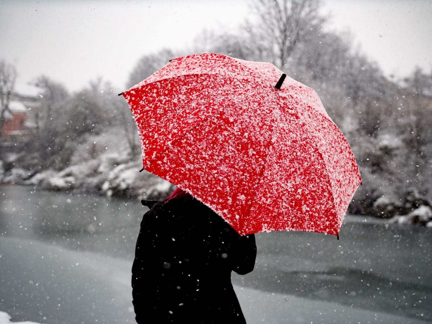
South Africans preparing for the start of the week are facing a cold snap, with reports indicating that light snowfall is expected to hit parts of the country on Monday, 10 August 2026. The weather forecast, initially published by local news outlet The Citizen on 9 August 2026, has sparked widespread interest as citizens prepare for a chilly winter day. While the prospect of snow often brings excitement to local weather enthusiasts, it also signals a significant drop in temperatures across several provinces.
The timing of this weather event is particularly notable for South Africans. With National Women's Day falling on Sunday, 9 August 2026, the subsequent Monday, 10 August, serves as a public holiday across the nation. This long weekend typically sees increased travel as families make their way across provincial borders. The arrival of a cold weather system and potential snowfall on Monday could influence travel plans and road safety for those returning home from their weekend getaways.
According to the available meteorological reports, the expected snowfall is anticipated to be light. However, the initial forecast details remain limited regarding the exact geographic coordinates of the weather system. The report does not specify which provinces or high-altitude areas will receive the brunt of the snowfall. In South Africa, late-winter weather systems are notorious for bringing sudden changes, and while light snow is predicted, the precise localized impact remains unclear at this stage.
In the absence of highly localized data in the initial reports, South Africans can look to historical weather patterns to understand where this light snow is most likely to manifest. Typically, late-winter cold fronts in South Africa bring snowfall to high-lying regions. These areas traditionally include the majestic Drakensberg mountain range spanning KwaZulu-Natal and the Eastern Cape, the high-altitude peaks of the Western Cape, and the mountainous areas surrounding the kingdom of Lesotho. Whether this specific system will reach these traditional snow spots remains to be officially confirmed.
The implications of even light snowfall in South Africa can be far-reaching, particularly for the transport and agricultural sectors. Mountain passes, which are vital transport corridors connecting different provinces, frequently become hazardous or are closed entirely when ice and snow accumulate. Routes such as the Sani Pass, the Swartberg Pass, or passes in the Eastern Cape highlands are often monitored closely during these weather events to prevent accidents and ensure motorist safety.
For the agricultural community, sudden drops in temperature and light snow require proactive measures. Farmers in high-lying regions must often move livestock to sheltered areas to protect them from extreme cold. Although the forecast specifies light snowfall, the associated wind chill and plunging overnight temperatures can still pose a threat to vulnerable animals and crops, making timely weather alerts crucial for rural communities.
As Monday progresses, residents and travellers are strongly advised to monitor local weather updates and official transport notices. Because weather systems of this nature can develop rapidly, staying informed through reputable news sources and meteorological channels is essential. Travellers should prepare for potential delays, ensure their vehicles are roadworthy for wet and cold conditions, and carry warm clothing and emergency supplies if navigating high-altitude routes.
Reporting record
How this story was produced
This article was AI-generated from the frozen trend evidence and passed deterministic quality and safety gates. No cross-provider evidence review or independent human verification is claimed for this record.
- Byline
- Newstrends AI Newsroom
- First published
- Last material update
- No later material update recorded
- Distinct source identifiers
- 1 retained source identifier
Frozen source links for this publication
Chronology
Story timeline
A generated chronology for orientation; dates and details may require source verification.
Update
Initial weather reports indicate light snowfall is expected in South Africa.
Update
Light snowfall forecast to affect parts of South Africa on the public holiday.
Reader file
Frequently asked questions
01When is the light snowfall expected in South Africa?
The light snowfall is forecast for Monday, 10 August 2026.
02Which areas of South Africa will see snow?
While the forecast predicts light snow in parts of the country, the initial reports do not specify the exact provinces or towns affected. High-lying areas are traditionally the most likely to experience these conditions.
03How will the weather affect travel?
Light snow and cold conditions can cause icy roads and potential closures of high-altitude mountain passes, so travellers are advised to exercise caution.
Keep reading
Related coverage
More published reporting connected to this story.

Severe Cold, Rain and Snow Warned for One South African Province This Weekend
A major weather system is set to bring severe cold, rain, and snow to one South African province this weekend. The warning, issued on 7 August 2026, highlights the need for urgent preparation as late-winter conditions intensify.
South Africa Braced for Snowfall and 'Very Cold' Weather as Winter Snap Hits
A major weather update warns of expected snowfall and extremely cold temperatures across South Africa starting the week of 27 July 2026. While specific regional details remain to be confirmed, residents and farmers are urged to prepare for winter hazards.
The Citizen Releases National Weather Forecast for Saturday, 8 August 2026
South Africans preparing for the weekend can now access the latest national weather outlook. Published by The Citizen, the forecast for Saturday, 8 August 2026, provides essential guidance for regional planning and outdoor activities.

Cold Weather Expected Across South Africa on Women’s Day
South Africans are advised to bundle up this Women's Day as cold weather is expected across the country on 9 August 2026. The widespread drop in temperature may impact outdoor celebrations and public holiday events.
South Africa Braces for Disruptive Snow and Rain as Severe Weekend Weather Approaches
South Africans are warned to prepare for a weekend of severe weather, with disruptive snow and heavy rain forecast to hit the country. The upcoming weather system is expected to cause travel delays and localized disruptions across several regions.