Weather Alert: Strong Winds and Light Rain Expected to Sweep Across the Cape Provinces
A weather alert has flagged incoming strong winds and light rain for specific parts of South Africa, particularly the Cape Provinces. Residents are advised to prepare for potential localized disruptions as official meteorological updates develop.
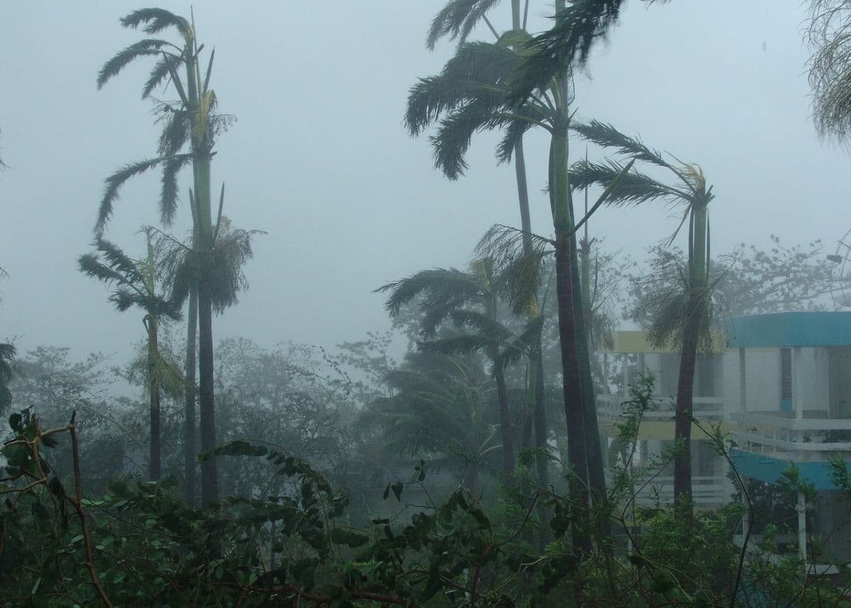
Residents in several parts of South Africa are bracing for a shift in weather conditions following reports of incoming strong winds and light rain. According to initial forecasting updates released on 21 August 2026, these atmospheric changes are projected to impact specific regions of the country, with a particular focus on the Cape Provinces. While the transition from calmer conditions to wind and rain is a common seasonal occurrence, the combination of these two elements often prompts heightened vigilance among local disaster management teams and the public alike.
The geographic focus of the current weather alert points directly to the Cape Provinces, a vast region known for its complex topography and diverse microclimates. Although the initial reports do not specify every town or municipality earmarked for the incoming weather, the regional designation suggests that both coastal and interior areas within these provinces could experience varying degrees of disruption. Historically, weather systems bringing both wind and rain to the Cape require careful monitoring due to how quickly local conditions can deteriorate.
At the present stage, detailed meteorological statistics—such as the exact velocity of the wind gusts or the precise millimetres of rainfall expected—remain unspecified in the preliminary reports. This lack of granular data is common during the early phases of weather tracking, where broad regional alerts are issued before localized impact assessments are finalized. Consequently, while the public is aware that strong winds and light rain are on the horizon, the exact severity of the system across different districts is still being determined.
Despite the absence of specific wind speed measurements, the anticipation of strong winds carries notable practical implications for the Cape Provinces. High winds in these areas are known to pose significant risks to transport and infrastructure. High-sided vehicles, such as trucks and buses, often face dangerous crosswinds on major transport routes, including the N1 and N2 highways. Additionally, strong gusts can lead to localized power disruptions by blowing branches onto overhead power lines or damaging fragile informal structures.
The expectation of light rain, though seemingly minor compared to heavy downpours, introduces its own set of hazards when paired with strong winds. Light precipitation can mix with accumulated oil, grease, and dust on road surfaces, creating extremely slippery driving conditions. This hazard is often exacerbated by strong winds, which can buffet vehicles and reduce steering control. Drivers across the Cape Provinces are therefore urged to adjust their speed and maintain safe following distances during this period.
The coastal geography of the Cape Provinces further amplifies the potential impact of this weather system. Strong winds can lead to rough sea conditions, affecting localized maritime activities, small vessel operations, and coastal recreation. While the current reports do not explicitly detail marine warnings, the combination of wind and light rain generally prompts harbor authorities and coastal residents to monitor sea swells and shoreline conditions closely.
For residents living in areas prone to severe weather, the current forecast serves as a timely reminder to initiate basic preparedness measures. Securing loose outdoor furniture, checking roof structures, and ensuring that drainage systems are clear of debris are standard precautionary steps that can mitigate localized damage. Community members are also advised to keep emergency contact details accessible and to ensure that mobile devices remain charged in the event of localized power outages.
Moving forward, the key focus for South Africans in the affected regions will be the detailed updates issued by official meteorological bodies. As the weather system develops, the South African Weather Service (SAWS) is expected to provide localized advisories, potentially classifying the wind and rain under specific warning levels. Residents are strongly encouraged to stay tuned to local radio stations, official social media channels, and municipal alerts to receive the latest, most accurate geographic breakdowns of the weather's path.
Reporting record
How this story was produced
This article was AI-generated from the frozen trend evidence and passed deterministic quality and safety gates. No cross-provider evidence review or independent human verification is claimed for this record.
- Byline
- Newstrends AI Newsroom
- First published
- Last material update
- No later material update recorded
- Distinct source identifiers
- 1 retained source identifier
Frozen source links for this publication
Chronology
Story timeline
A generated chronology for orientation; dates and details may require source verification.
Update
Initial weather alerts warn of incoming strong winds and light rain expected to impact the Cape Provinces.
Reader file
Frequently asked questions
01Which parts of South Africa are expected to be affected by the weather?
Preliminary reports indicate that the weather system, bringing strong winds and light rain, is expected to primarily affect the Cape Provinces.
02What are the expected wind speeds and rainfall amounts?
Specific meteorological data, including exact wind speeds and rainfall measurements, have not yet been detailed in the initial reports. Residents should monitor local updates for precise figures.
03How can residents prepare for the incoming wind and rain?
Residents are advised to secure loose outdoor items, drive with caution on wet and windy roads, and keep track of official updates from the South African Weather Service.
Keep reading
Related coverage
More published reporting connected to this story.
South Africa Braces for Severe Weather Alert Warning of Damaging Winds, Waves, and Extreme Fire Danger
A national weather alert has been issued for South Africa on 5 August 2026, warning of damaging winds, high waves, and extreme fire danger. While specific regional impacts remain unconfirmed, residents are urged to prepare for potential disruptions.
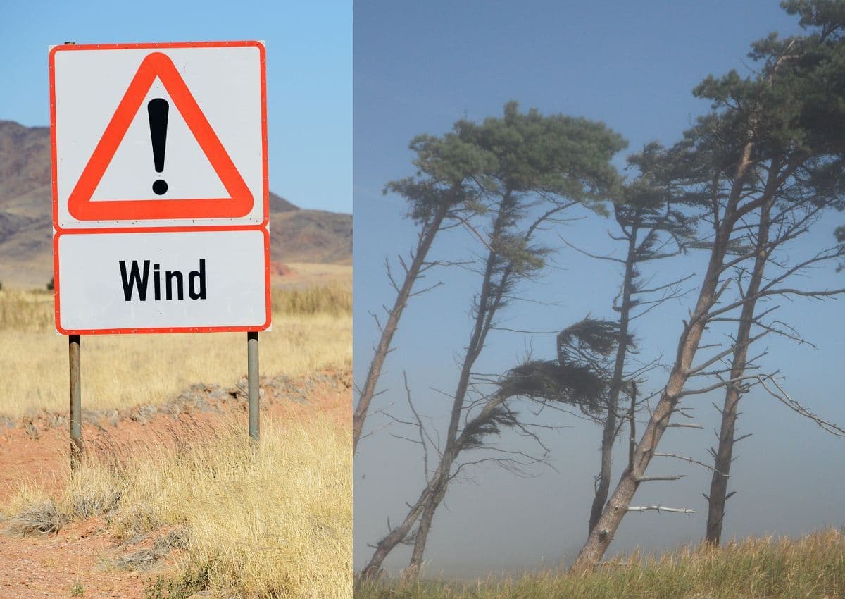
Weather Alert: Strong winds and rain expected to hit parts of South Africa
South Africans are advised to prepare for incoming strong winds and wet weather following initial alerts on 1 August 2026. While specific regions remain unconfirmed, the transition into August typically brings volatile weather across the country.

WEATHER: South Africans Warned to Prepare for Strong Winds This Weekend
Reports from 21 August 2026 warn of strong winds expected across South Africa this weekend. While specific regional impacts remain unconfirmed, residents are urged to take precautions and monitor local weather updates.
Weekend Weather Alert: Wind, Rain and Chilly Conditions Set to Hit Parts of South Africa
South Africans are warned to prepare for a cold, wet, and windy weekend as a late-winter weather system approaches. While specific regional details remain unconfirmed, residents across vulnerable areas are urged to take necessary precautions.
Rain Possible in Selected Areas of South Africa: IOL Releases Weather Alert for Friday, 21 August 2026
A early morning weather alert published on 21 August 2026 warns of potential rainfall across unspecified regions of South Africa. Residents are urged to monitor local forecasts as seasonal transition patterns continue to bring unpredictable weather.