South Africans are bracing for a period of severe weather as meteorological reports indicate that a powerful cut-off low-pressure system is developing. According to initial weather forecasting reports published on 12 September 2026, this system is expected to bring a combination of severe storms, hail, and a dramatic drop in temperatures across the country. While the exact trajectory and localized impact of the system remain under observation, the initial warnings suggest a significant shift in weather patterns that could disrupt daily activities.
The primary features of this incoming weather system are widespread storms and the potential for hail, accompanied by a sharp decline in daily temperatures. Cut-off lows are well-known in South Africa for their capacity to deliver intense and sometimes destructive weather. Because these systems are closed low-pressure systems that have been 'cut off' from the main westerly flow of the atmosphere, they tend to move slowly, spinning over an area and channeling cold air from the south while drawing in moisture. This combination often results in prolonged periods of unstable and severe weather.
The mention of hail and severe storms is a key concern for residents and agricultural sectors alike. In South Africa, hail storms can cause extensive damage to property, particularly vehicles and roofs, and can devastate crops in farming regions. While the initial reports from mid-September 2026 highlight these risks, specific details regarding which provinces or agricultural belts will bear the brunt of the hail have not yet been fully detailed. Farmers and property owners are advised to keep a close eye on subsequent local advisories.
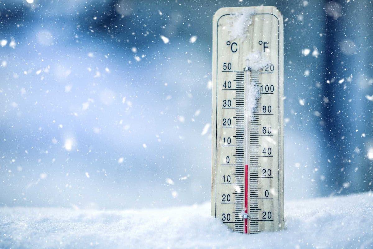
In addition to the convective storm activity, the forecast points to a dramatic drop in temperature. This sudden transition to colder weather can be particularly challenging, especially if it follows a period of milder spring conditions. Dramatic temperature drops often put pressure on the national electricity grid as heating demands rise, and they pose health risks to vulnerable populations, including those living in informal settlements without adequate insulation.
At this stage, several critical details remain unclear. The available data from the initial reports does not specify the exact dates when the system will make landfall or reach its peak intensity, nor does it outline the precise municipal areas that are most at risk. Furthermore, the exact degree of the temperature drop and the expected rainfall volumes have not been quantified in the preliminary forecasts. Consequently, the public is urged to treat this as an early warning and to prepare for a variety of weather-related contingencies.
Historically, cut-off low systems in South Africa have been responsible for some of the country's most severe weather disasters, including flooding and heavy snowfall in high-lying areas. Because these systems are notoriously difficult to predict with absolute precision far in advance, meteorologists rely on continuous monitoring to update their models. As the system draws closer, more localized alerts, including potential watches and warnings for localized flooding or severe thunderstorms, are expected to be issued by national weather authorities.
In light of these developments, South Africans are encouraged to take basic precautionary measures. These include securing loose outdoor objects that could be damaged or displaced by strong winds, ensuring gutters and drainage systems are clear of debris to mitigate flooding risks, and identifying safe shelter for vehicles to protect them from potential hail damage. Travelers should also exercise caution, as wet roads, reduced visibility, and sudden temperature drops can create hazardous driving conditions.
As the situation unfolds, staying informed through reputable local news outlets and official meteorological channels will be essential. The upcoming days will reveal the full extent of this cut-off low's path and intensity. For now, the country remains on alert for a turbulent weather transition that promises to bring a stark reminder of the power of transitional season storms.